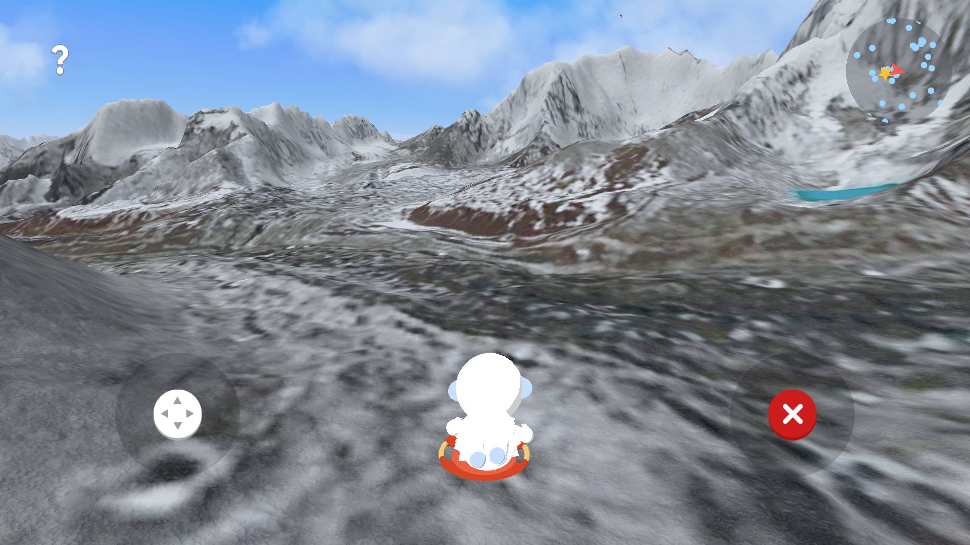
Google’s Creative Labs is utilizing the vast collection of 3D imagery from Google Maps for educational purposes. The new experimental app lets kids run around the Himalayas and learn more information about the area through points of interests.
“A few of us started wondering if this 3D imagery could make learning about the world a bit more fun for kids,” write Amar Gandhi and J.R. Schmidt from Google’s Creative Labs. “We started playing with quick prototypes, and even brainstormed with our own kids to get inspired by their sense of curiosity.”
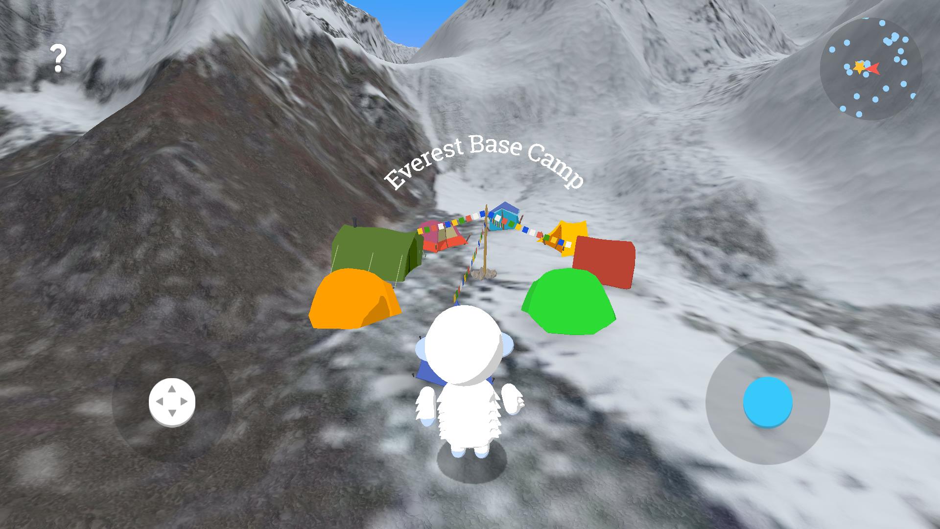
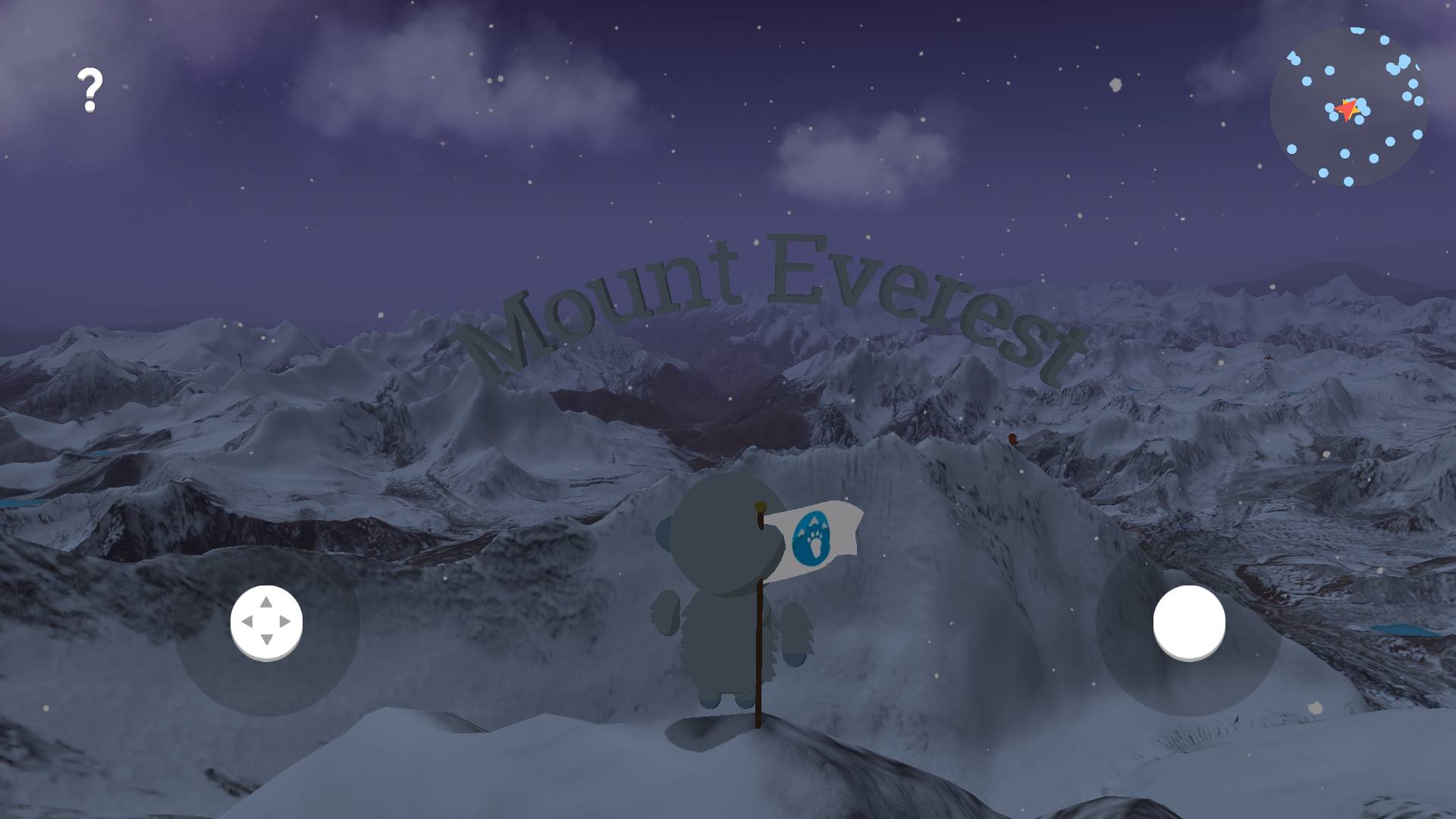
In the app, you control Verne, the Yeti named after Jules Verne, via a virtual joystick; a second virtual button makes him jump. All you do is run around the Himalayan landscape, which is made from the 3D images used in Google Maps.
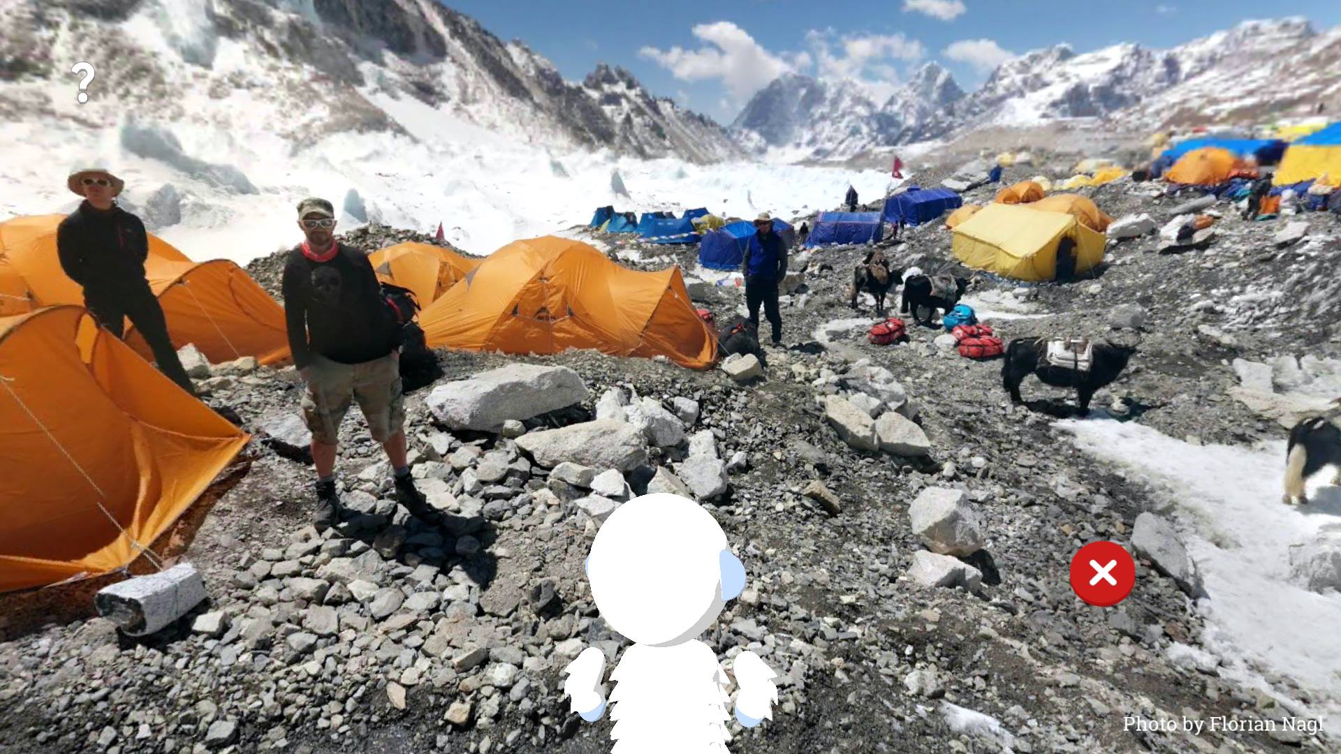
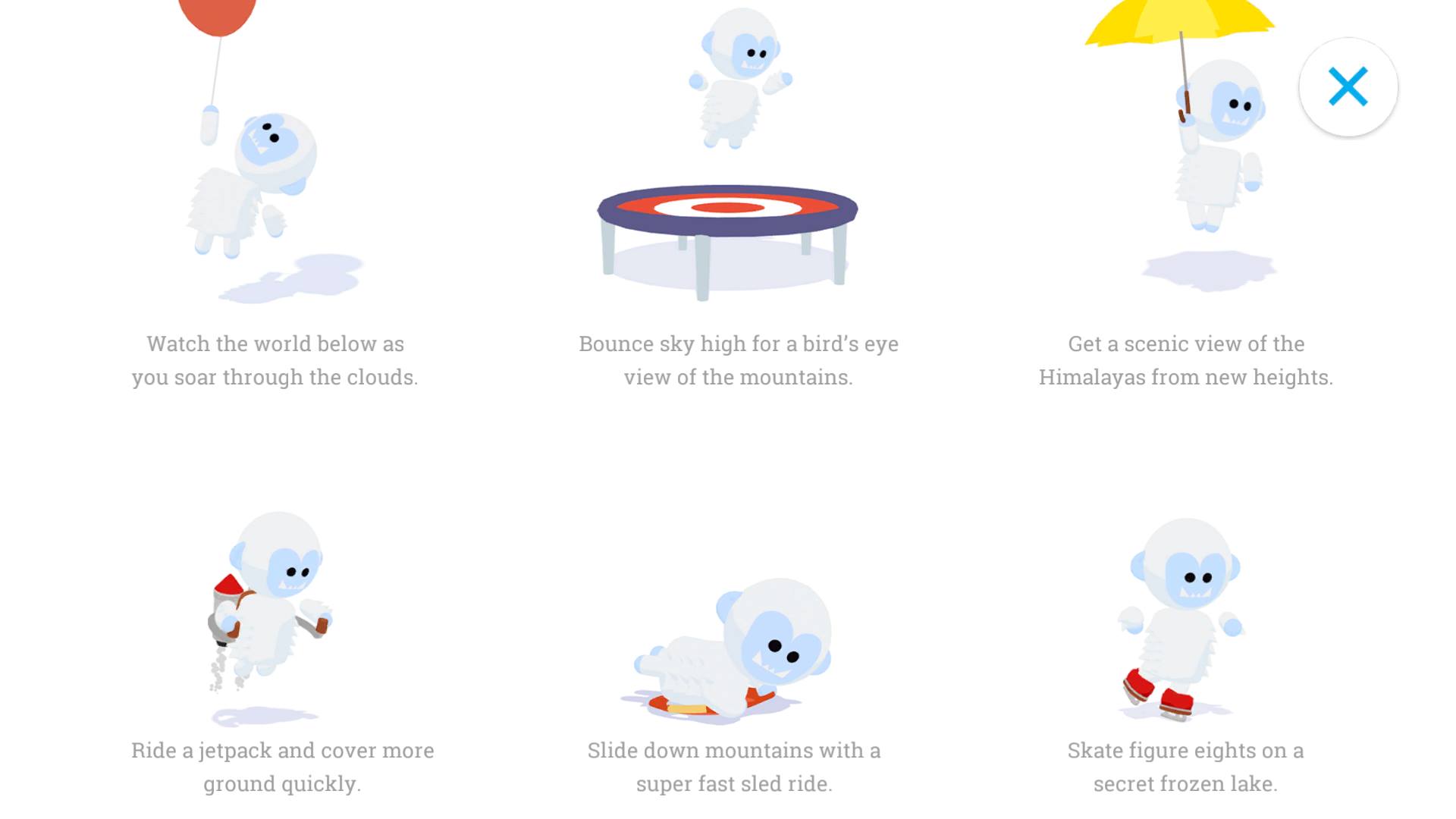
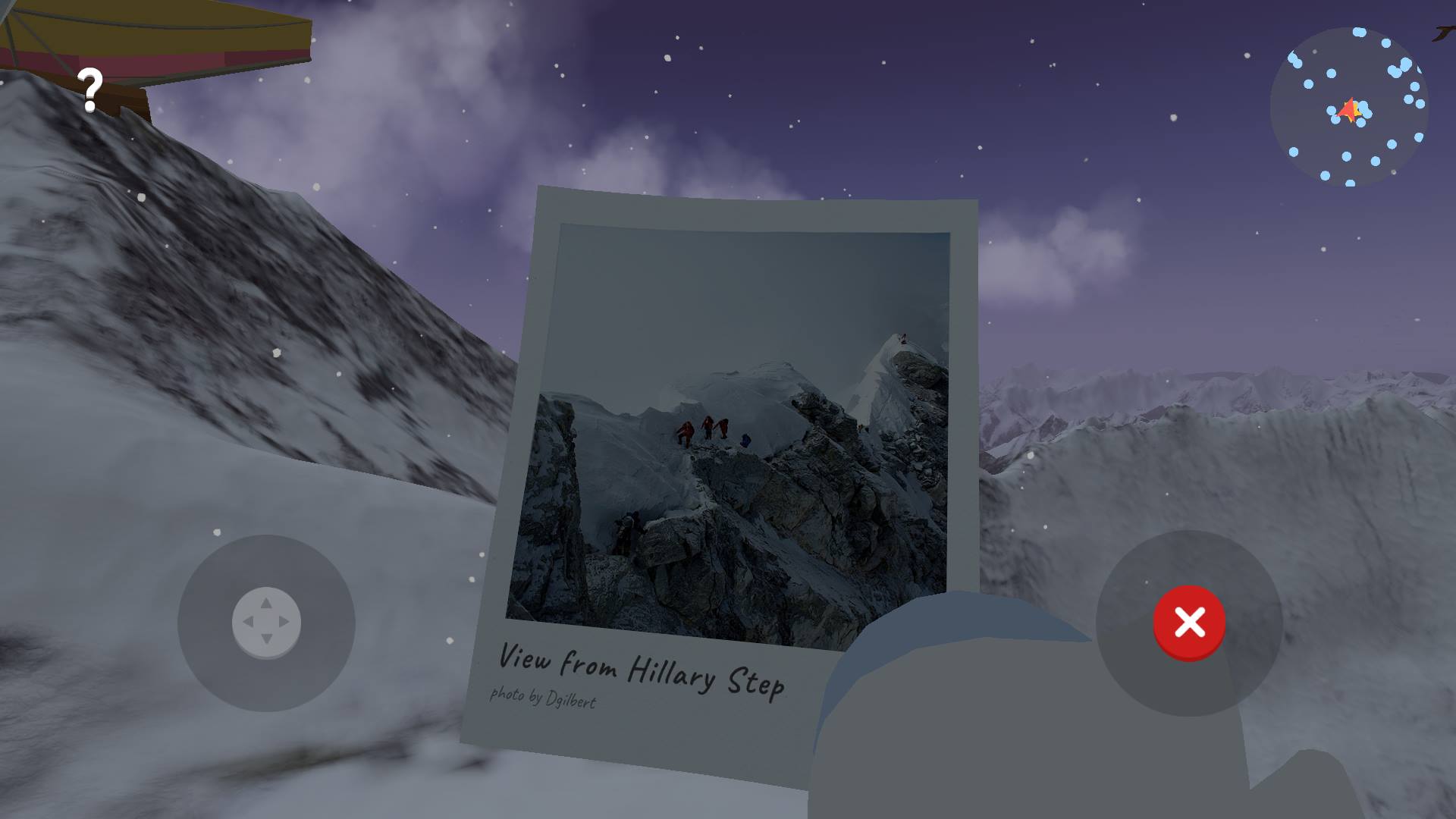
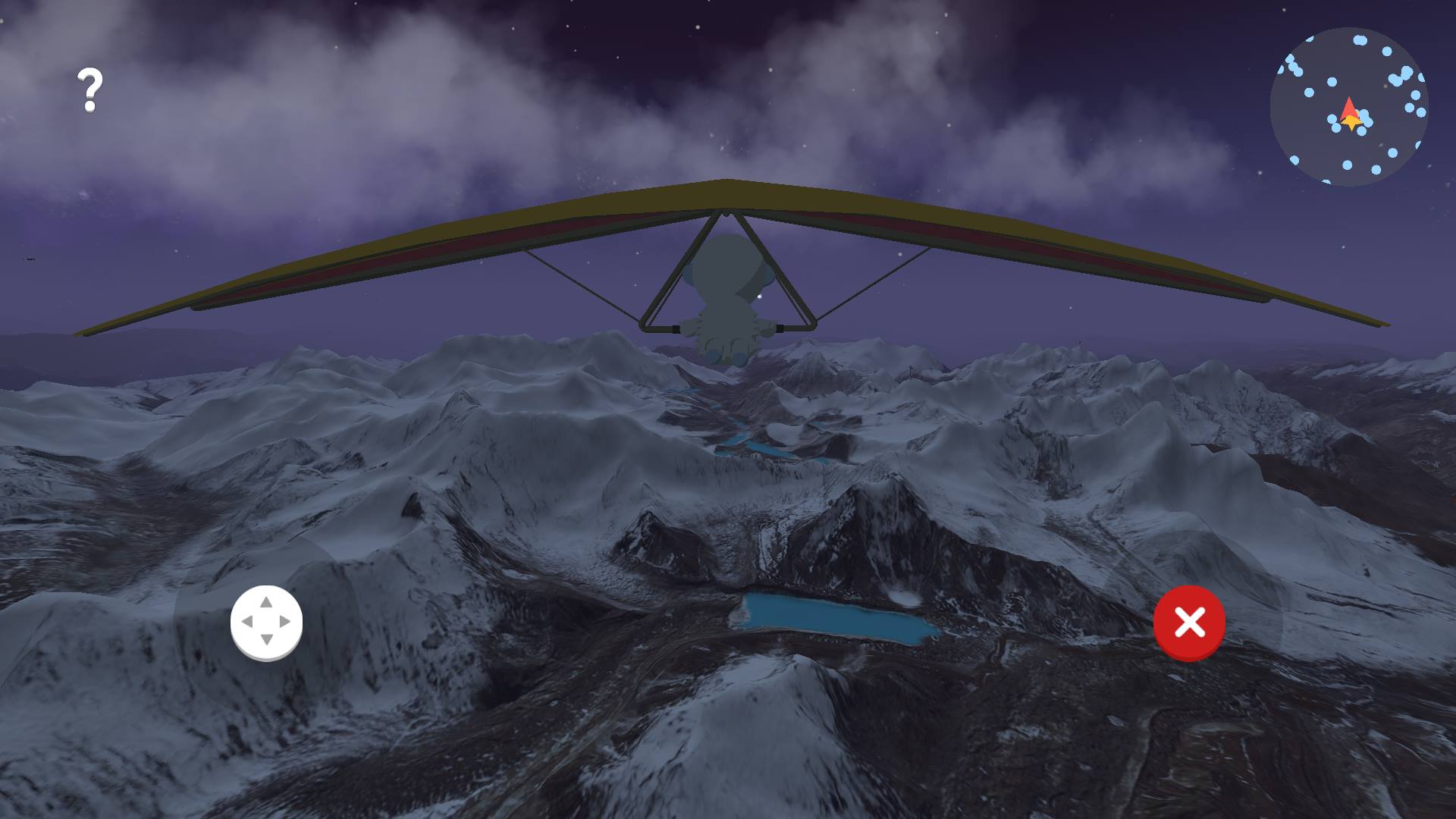
There are all sorts of points of interests, and they’re easy to find thanks to the minimap on the top right. Points of interest include: Photographs from vistas such as the Hillary Step; jet packs you can fly around with; hang gliders; balloons that lift you up for amazing views; 360-photos such as ones from the Everest Base Camp; poles with speakers that offer relevant information; and more.
It’s a fun way to learn a little more about the Himalayas while actively exploring it. The video Google released touting the app hints at expansions for other territories, so it’s likely we’ll see Verne hitting new sites around the world over time. These expansions may depend on the popularity of the app.
The educational app is only available on Android, and you can download it from the Google Play Store now.
