For anyone who has ever misplaced their iPhone, Apple’s “Find My” app is a game-changer that borders on pure magic. Sign into the app, tap a button to sound an alarm on your MIA device, and, within seconds, it’ll emit a loud noise — even if your phone is set on silent mode — that allows you to go find the missing handset. Yeah, it’s usually stuck behind your sofa cushions or left facedown on a shelf somewhere.
You can think of SArdo, a new drone project created by researchers at Germany’s NEC Laboratories Europe GmbH, as Apple’s “Find My” app on steroids. The difference is that, while finding your iPhone is usually just a matter of convenience, the technology developed by NEC investigators could be a literal lifesaver.

“SARDO is a single-UAV [unmanned aerial vehicle] solution designed to localize victims in disaster scenarios by leveraging only on their cellular connectivity,” Antonio Albanese, a research associate at NEC Laboratories Europe, told Digital Trends. “The intuition behind it is to adapt the classical cellular multilateration technique, which is based on simultaneous target distance estimates from several anchors, for example, base stations, to the case when only a single, moving anchor is available.”
Let’s unpack that a bit. For starters, SARDO ostensibly stands, in the awkward backronym way such projects frequently do, for “Search-And-Rescue DrOne-based solution.” While there are no shortage of projects that have investigated the use of drones for search-and-rescue missions in settings like disaster zones, what makes SARDO stand (or, at least, hover) apart is how it tracks down missing people: By using their phone signals.
SARDO to the rescue
To begin with, SARDO performs a time-of-flight measurement using information extracted from the signals of a user’s smartphone in order to estimate their distance. Machine learning tools are then applied to work out the precise location of the person, even compensating for scenarios in which the cellular signals are adversely affected by rubble. If the person being searched for is moving, another machine learning algorithm leaps into action to assess their trajectory based on current movement. After it has carried out a scan of an area, the SARDO drone system will automatically change its position to be closer to the victim to retrieve more accurate distance measurements.

“To the best of our knowledge, this is the first single-drone search-and-rescue solution able to accurately localize missing victims only through mobile phones,” Albanese said. “There are competitor solutions, but they either rely on other sensors — [such as] IR or thermal cameras — or use ad hoc ultrawide bandwidth signals, which are … not employed by common cellular networks. SARDO makes the most of the higher and higher penetration rate of mobile phones in our society to provide a ubiquitous plug-and-play emergency localization system.”
The idea of tracking people down through their phone signals is smart, not least because it makes it possible to both look for specific people (something that other drone search-and-rescue approaches can’t easily do) and retrieve the identity of individuals when necessary. But there’s also a much smarter bit of tech at play.
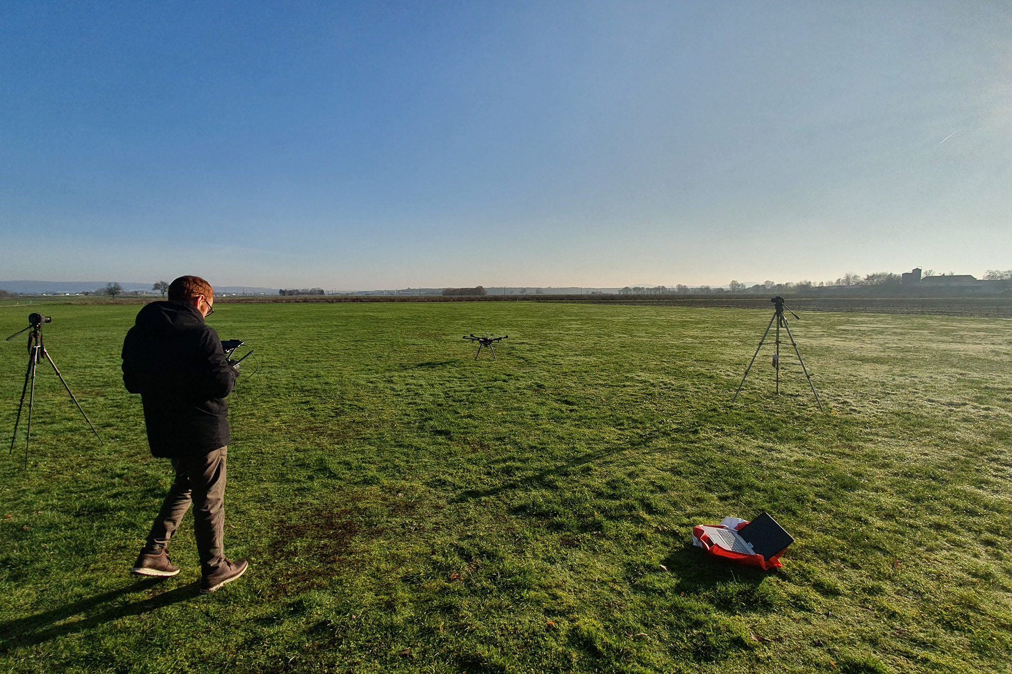
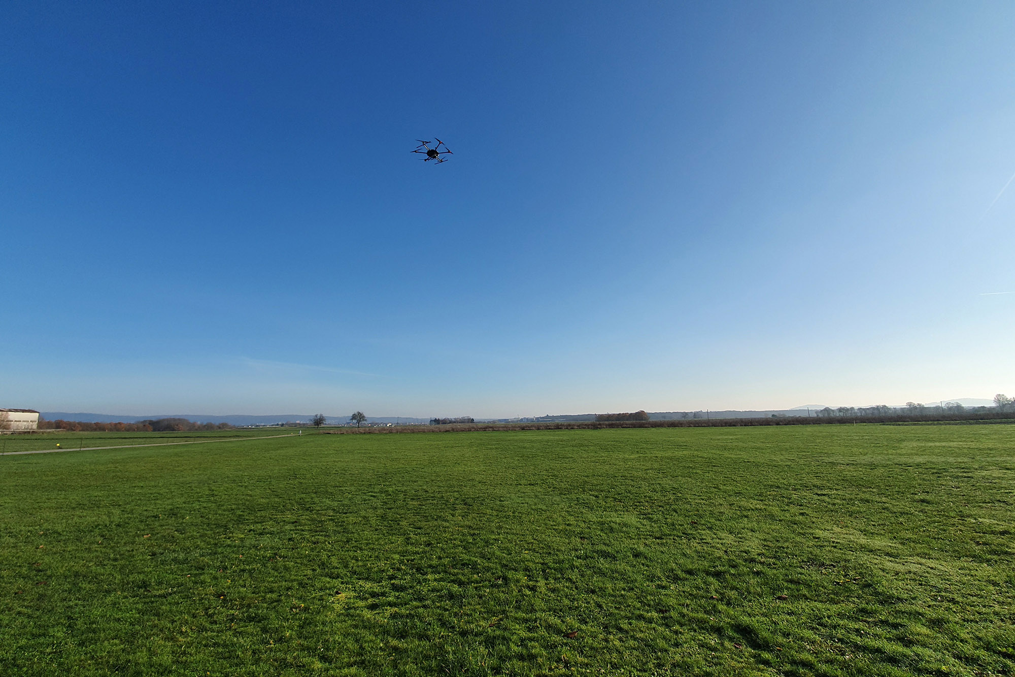
Field tests in progress
The big potential problem with technology like this is that, in a natural disaster scenario, there is no guarantee that cellphones will be working. For example, when Hurricane Harvey battered the coast of Texas in 2017, it knocked out 70% of cell towers, more than 360 in total, in affected areas. Hurricane Katrina, meanwhile, knocked out around 1,000 cell towers in total in 2005.
How, then, do you ensure that a drone that’s trying to track people by their phone signals is able to do so? Simple: You make the drone itself into a flying, lightweight cellular base station.
“We [have so far] tested the prototype in several field trials,” Albanese said. “First, we validated our error model, and empirically proved the dependency of the error variance on the actual distance between the UAV and the [user equipment]. Then, we tested the localization [convolutional neural network] for different UAV altitudes and user speeds. Finally, we assessed the closed-loop SARDO performances, showing that it needs few complete revolutions to achieve low localization error for different user speeds.”
Right now, the technology can only work in outdoor environments. However, Albanese said the team hopes this will change in the future with the addition of indoor localization.
“Since we developed our prototype by means of off-the-shelf hardware, we may be offering SARDO as a software module product to be executed on available hardware solutions, or even as a complete solution including the UAV and the base station,” he noted.
He said that there has been interest from public safety departments, although no final decision about its adoption has yet been made.
A paper describing the work was recently published in the journal IEEE Transactions on Mobile Computing.


